
High pressure remains the dominant weather factor in our forecast through the remainder of the weekend and through next week. High pressure brings sinking (more stable) air, which leads to hot temperatures and low rain chances.
Expect highs in the 89-93 degree range each day through the end of next week. Rain chances will remain minimal, sitting at 10-20% each afternoon. We could be on the higher end of that temperature spectrum by the middle parts of next week as the ridge of high pressure centers itself over the area and becomes stronger.
By the end of the week models diverge a bit. The GFS model tries to bring a weak, back-door, front into the area by Friday and Saturday. This would increase our rain chances a bit by next weekend and possibly bring in slightly drier air. The European model, however, stalls the front to the north of the area and keeps us baking through next weekend. Hopefully we could see our first true frontal passage and cooler air by the first half of the following week, somewhere around the 8-10th of October.
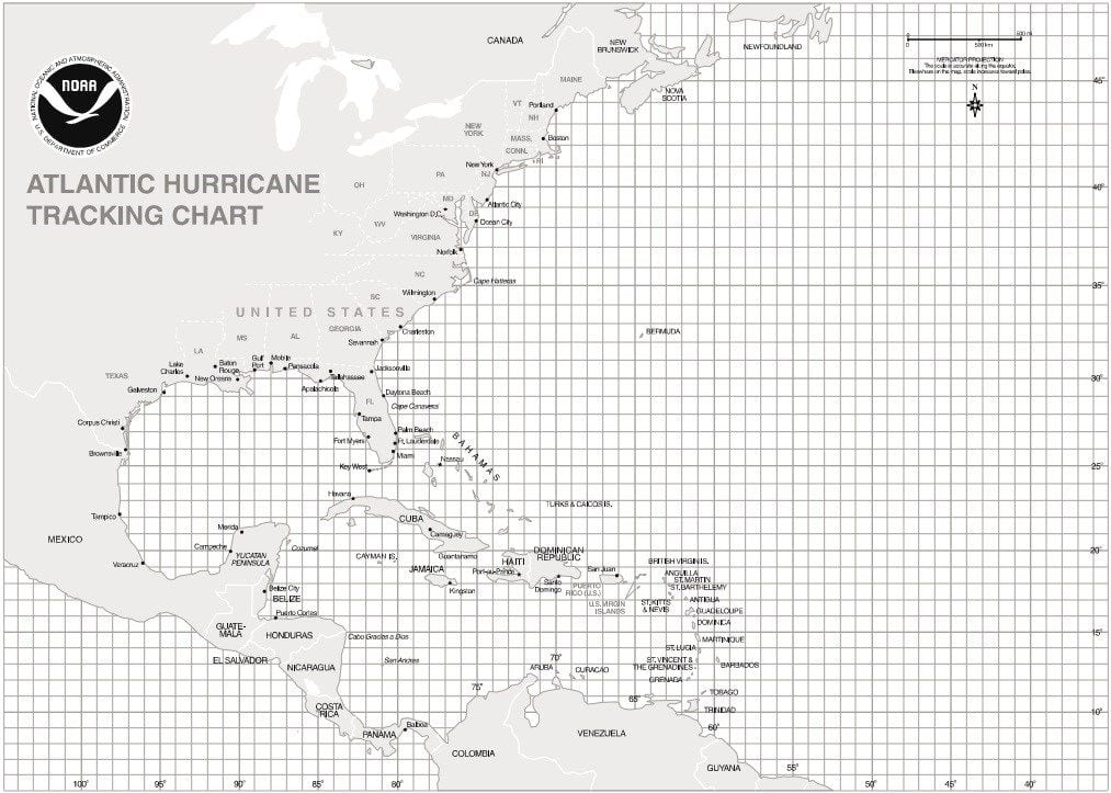
TROPICAL UPDATE: Tropics have died down a bit with the only active storm being Hurricane Lorenzo. It remains strong, once again achieving category four status. Lorenzo will stay an Atlantic system though, not affecting any land areas.
Heading into October, we have to start watching close to home again, especially the Gulf of Mexico and western Caribbean. Like the early months of the season, the monsoonal trough, stationed across central America, can serve as a breeding ground for tropical cyclogenesis. This is especially true when a strong high pressure is centered over the southeastern United States or southwestern Atlantic, which rushes air southward towards this area and leads to rising motion (storms). Some long-range models show that this area will have to be watched through the next 5-8 days as some are developing broad low pressure. Nothing of much concern at this point, but just something to monitor. Otherwise, nothing else is imminent in the tropics!


