
We have seen a hot and dry weather pattern through the past few weeks. This is due to a strong high pressure cell that has been stagnant across the southeastern U.S. Meanwhile, a trough is producing cooler air and even some snow at higher elevations across the Pacific Northwest.
This high pressure will stay overhead through the end of this week and the weekend. This will lead to hot temperatures, with readings in the upper 80s to lower 90s each afternoon. With the sinking, more stable, air caused by the high pressure, rain chances will remain scarce. By the weekend, some low-level moisture will work into the area, which could lead to an isolated shower or two Saturday and Sunday.
By the early and middle parts of next week, this ridge of high pressure will build even more. This will lead to record-breaking heat across the Ohio River valley, where the high pressure will be centered. This will also lead to hotter temperatures for Acadiana as we could see readings in the low-mid 90s Monday, Tuesday, and Wednesday of next week.
No major cold front expected through the next seven days, but there is a glimmer of hope in the 8-10 day outlook, as some cooler air could finally try to make a move across Acadiana. Stay tuned!
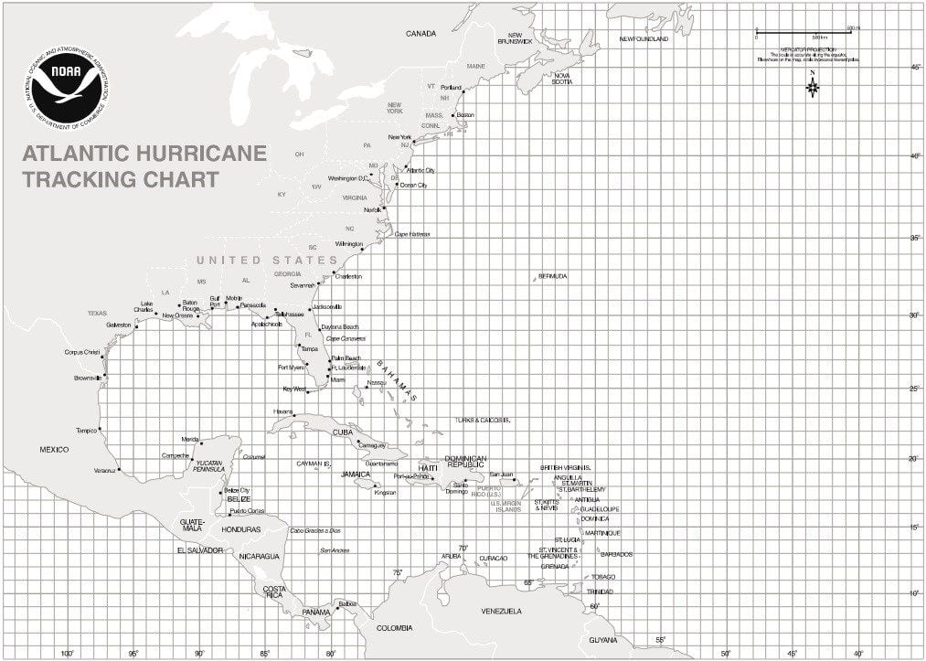
TROPICS….Tropics remaining active, but nothing is imminent for the Gulf of Mexico. Tropical Storm Karen is expected to stall and/or loop across the southwestern Atlantic. We may still have to watch it as it moves west, but most models weaken the system before it reaches the Gulf.
Hurricane Lorenzo is intensifying near the Cape Verde islands, but should stay an Atlantic system.


