
It’s the weekend again and yet another chance for storms heading through Saturday night and Sunday. Plans tonight (Friday night) look good as temperatures will be dropping through the mid-50s and skies are expected to be mostly clear to partly cloudy.
The first half of Saturday will feature warm temperatures, with highs getting into the mid-70s by the afternoon, and increasing clouds. Southeast winds will begin to increase by mid-afternoon with winds in the 8-16 mph range. Most of the storm activity Saturday afternoon should be across eastern Texas. A weak surface low will develop along a front across central Texas. This, along with instability and increasing wind shear, should begin to ignite storms across eastern Texas through the afternoon and evening. These storms will begin to work eastward through the nighttime hours, arriving across the Sabine River parishes closer to midnight.
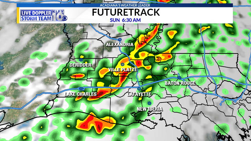
Figure 1) RPM Futurecast model 6:30am Sunday Morning
By Sunday morning, these storms will be working across Acadiana with prime-time to see storms between midnight and noon Sunday. A Marginal “Level 1” risk for severe weather is in the mix, so the threat appears rather low at this time. This is due to an unimpressive temperature drop aloft, but wind shear will be strong enough to still produce isolated episodes of severe weather. Main hazards will be a damaging wind gust or an isolated tornado.
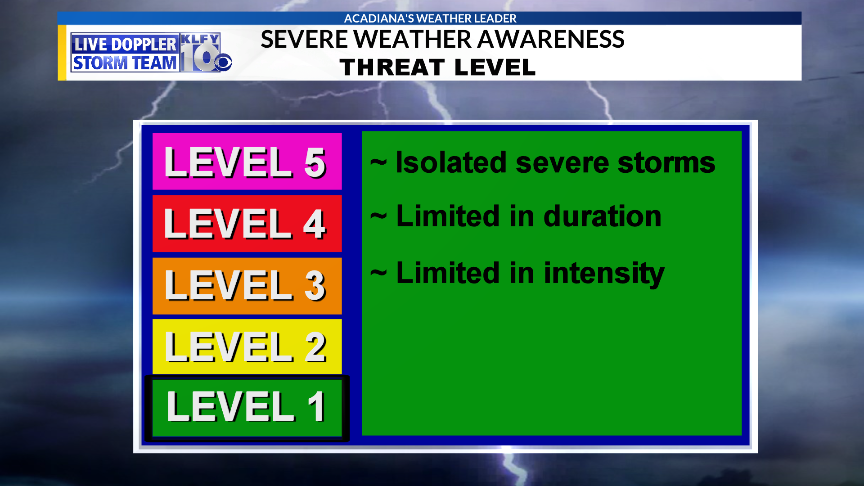
Figure 2) Severe Weather Threat Level: Marginal “Level 1”
Rainfall accumulations of a half-inch to an inch and a half possible across the area through Sunday afternoon, with isolated higher amounts across northern Louisiana and Mississippi. Front will move through Sunday afternoon/evening with temperatures dropping and northwesterly wind increasing.
~Meteorologist Trevor Sonnier
