
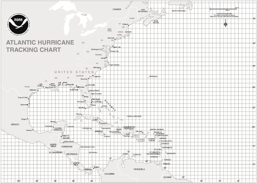
It’s still looking like Acadiana will see impacts from this potential tropical system. The track is key here, because if it moves east of Acadiana, we will see some rain and wind, but the worst will be away from us. If it moves west of Acadiana, we can expect much higher rainfall totals, coastal flooding and tornadoes. The worst of it will be Saturday as landfall is expected Saturday afternoon. 5-15″ of rain will be possible, and that depends on the exact track. Tropical storm force winds are looking more likely across Acadiana. We will keep you up to date on the latest information as we got it.
Tropical Satellites

Gulf of Mexico Satellite
Caribbean Satellite

West Atlantic Satellite

East Atlantic Satellite

Regional
Abbeville
77°F Cloudy Feels like 77°- Wind
- 12 mph SSE
- Humidity
- 96%
- Sunrise
- Sunset
Tonight
76°F
Information not available.
- Wind
- 10 mph S
- Precip
- 0%
- Sunset
- Moon Phase
- Waning Gibbous
Crowley
77°F Cloudy Feels like 77°- Wind
- 12 mph SSE
- Humidity
- 94%
- Sunrise
- Sunset
Tonight
76°F
Information not available.
- Wind
- 10 mph S
- Precip
- 0%
- Sunset
- Moon Phase
- Waning Gibbous
Opelousas
78°F Cloudy Feels like 78°- Wind
- 13 mph S
- Humidity
- 86%
- Sunrise
- Sunset
Tonight
75°F
Information not available.
- Wind
- 9 mph SSE
- Precip
- 0%
- Sunset
- Moon Phase
- Waning Gibbous
Breaux Bridge
77°F Cloudy Feels like 77°- Wind
- 12 mph SSE
- Humidity
- 90%
- Sunrise
- Sunset
Tonight
75°F
Cloudy. Low near 75F. Winds S at 10 to 15 mph.
- Wind
- 13 mph S
- Precip
- 17%
- Sunset
- Moon Phase
- Waning Gibbous
New Iberia
77°F Cloudy Feels like 77°- Wind
- 12 mph SSE
- Humidity
- 95%
- Sunrise
- Sunset
Tonight
75°F
Cloudy skies. Low near 75F. Winds S at 10 to 20 mph.
- Wind
- 13 mph S
- Precip
- 21%
- Sunset
- Moon Phase
- Waning Gibbous
Wave Heights

Gulf of Mexico Wave Heights
Important Information

Generator Safety
List of Names

Hurricane Scale


