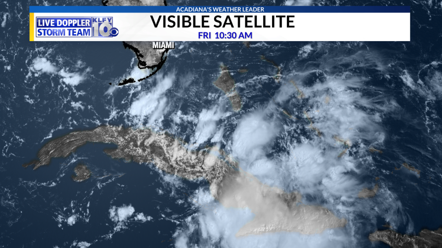

Tropical Storm Fred officially formed late Tuesday in the eastern Caribbean Sea and has since weakened and remained a Tropical Depression as it moves just north of Cuba. Currently, Fred has wind speeds at 35 mph as it moves WNW at 12 mph. Fred is expected to return to tropical storm strength in the next couple of days as it moves towards the eastern Gulf of Mexico this weekend.
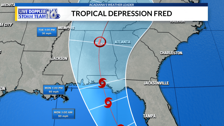
The National Hurricane Center forecast cone shows Fred slowly strengthening as it moves closer to the Florida Keys on Saturday. Similar to Hurricane Elsa, the path will turn more northerly after Cuba, which increases the impacts for Florida as it moves into the eastern Gulf of Mexico. Reorganization and strengthening is expected to be limited but a strong tropical storm to a weak hurricane could make landfall across the panhandle of Florida early on Monday.
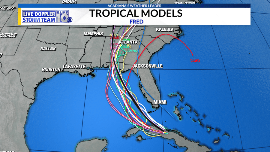
Tropical models are in good agreement on the path and future intensity of Fred. Most models are clustered across the eastern Gulf of Mexico keeping impacts from the system well east of Acadiana.

The GFS model has been excellent with tropical systems so far this year. This morning’s model run shows the future Fred as a weak system making landfall across the panhandle of Florida on Monday, August 16th.
There is still some uncertainty with the forecast at this time but impacts for Acadiana are looking slim. Stay tuned and download the KLFY Storm Team Weather App.
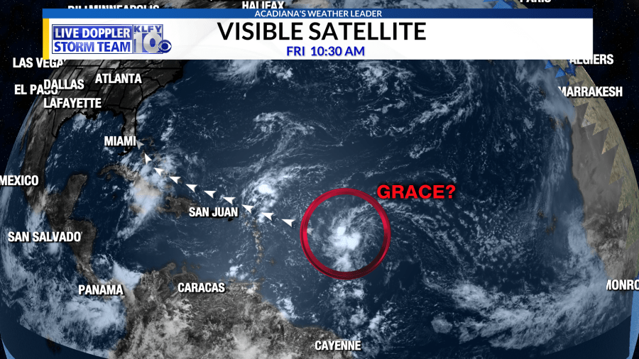

Looking beyond Fred, a low-pressure system in the central Atlantic Ocean has a high likelihood to become a tropical system. Potential Tropical Cyclone Seven should become Tropical Storm Grace this weekend as it rushes towards the Caribbean Islands. Forecast uncertainty is high on the path and intensity of this system. Impacts to the U.S. remain unknown at this time.


