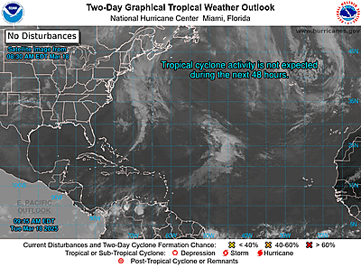
Tropical Storm Eta continues to spin across the southeastern Gulf of Mexico. Yesterday, Subtropical Storm Theta formed from a low pressure system out in the central Atlantic. This system won’t affect anyone, but it does allow the 2020 Atlantic hurricane season to reach a grim milestone. We have officially surpassed 2005 as the most active hurricane season on record with now 29 named storms.
Tropical Storm Eta has become stationary this morning. It will, however, start to make a turn to the north later today and through the next few days. It’s in an environment with warm sea-surface temperatures and relatively low shear and it will be in this environment for another 48 hours or so. This could allow the storm to intensify in the short-term as it heads north over the eastern Gulf. Thereafter, wind shear is expected to increase significantly and Eta will likely weaken as it approaches the northern Gulf coast sometime this weekend. A stronger system will likely get steered further east, while a very weak system could still drift further westward into the Gulf. Eventual track depends heavily on intensity, but as of now, the only chance of Eta becoming anything more significant at landfall would be well east of Acadiana.
This year, as mentioned above, officially marks the busiest hurricane season on record. Worthy of mention is the fact that subtropical storms were not named prior to 2002, so storms like Subtropical Storm Theta would probably remain unnamed in seasons prior. Also, with the post-1970s satellite-era we are in, we are able to pick up on storms that may have been missed in the past. Due to these reasons, it’s very plausible busy hurricane seasons in the past may have had more storms than documented, which could skew the numbers. Through the next 30 years or so, we should be able to get a better data sample regarding the number of storms each season and the bounds of what’s below-or-above normal.


