TAMPA, Fla. (WFLA) – Tropical Depression Eleven is still moving west at 14 mph across the central Atlantic. The overall organization of the storm is improving and it is forecast to become Tropical Storm Josephine later Wednesday.
The tropical depression is still battling some drier air and wind shear which is not allowing to storm to fully organize and strengthen. However, the wind shear is expected to become lighter within the next 12 hours.
Eleven will continue to move west, while slowly adding a northerly component to its motion. The subtropical ridge steering the system west will have a break and allow the storm to curve north.
While the storm is expected to strengthen within the next 48 hours, the forecast Sunday and into Monday calls for weakening due to the wind shear beginning to increase again. This will limit further strengthening, potentially even tearing the storm apart altogether which several long-range models continue to suggest.

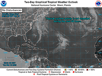
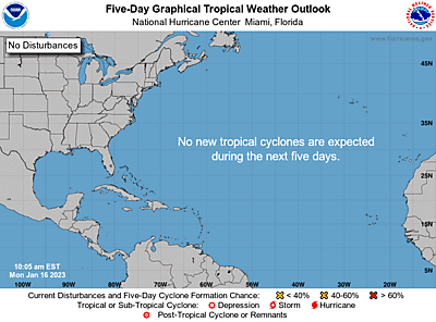
Currently, this is the only storm the Tracking the Tropics team has their eye on with no new development expected over the next five days.
However, the peak of hurricane season is still one month away and the updated forecasts from both the Colorado State University and The National Oceanic Atmospheric Administration are calling for an “extremely active” season with up to 24 named storms forming. This includes the nine named storms so far in 2020.

“This year, we expect more, stronger, and longer-lived storms than average, and our predicted ACE (accumulated cyclone energy) range extends well above NOAA’s threshold for an extremely active season,” said Gerry Bell, Ph.D., the lead seasonal hurricane forecaster at NOAA’s Climate Prediction Center.
Both updated forecasts note the decrease in wind shear for the rest of the season, the extremely warm sea surface temperatures, and the possibility of La Nina forming in the Pacific Ocean, among several other factors.
According to U.S. Secretary of Commerce Wilbur Ross, this is one of the most active seasonal forecasts that NOAA has produced in its 22-year history of hurricane outlooks.
Of course, it is important to note this is not a landfall forecast. If 24 named storms form, it does not mean any will impact land but they could and it only takes one storm to make it a bad season for your neighborhood.
Tracking the Tropics is keeping you informed this hurricane season. Our team streams live every Wednesday at 2 p.m. ET and whenever there is something to track in the tropics.


