
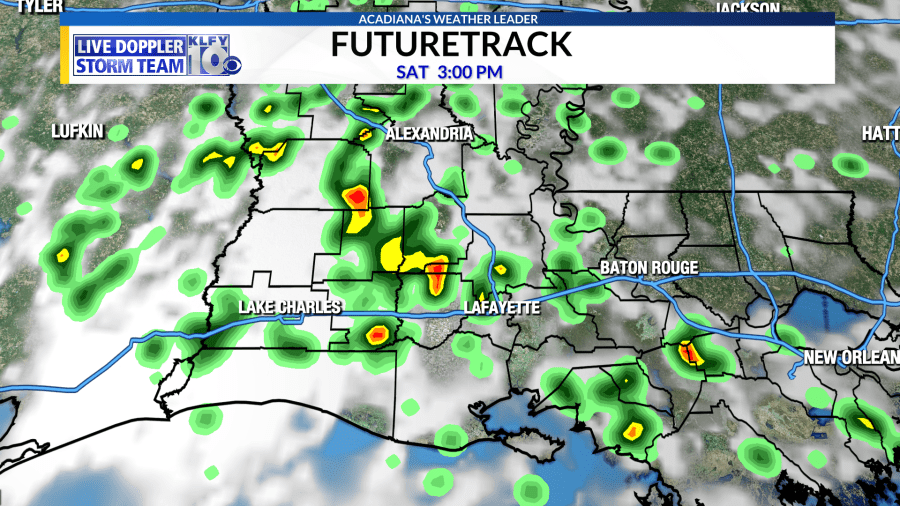
We’ve seen storms each and every day across Acadiana, which makes it difficult to do just about anything outdoors during the peak of the afternoon, as if the heat wasn’t enough! Temperatures are hot, with highs near 90 and heat index values of 100-105 degrees, but the storms have cooled us off during late afternoon and early evening each day. Tomorrow looks similar to the past few days with highs in the lower 90s and heat index values soaring above 100. Storms will also be likely during the afternoon hours, so make sure you have our weather app to track storms. Lightning can be very dangerous this time of year, so it’s important to remember to get indoors if you hear thunder as this means you are close enough to get struck by lightning, even if the sun is shining or it hasn’t rained yet.
A tropical wave will add a little more energy into the mix by Sunday and Monday, which may increase rain coverage on those days. Some heavier rainfall could be possible in isolated areas as slow-moving storms could dump 2-3 inches per hour.
The pattern remains unchanged through much of next week with highs 89-92 each afternoon and rain coverage of 30-50% each afternoon. This is summer in Acadiana and it looks like it’s here to stay. The only way to change this pattern would be a big dome of high pressure to suppress rain chances, but the trade off is, these highs usually bring very hot temperatures with them!


