Starting tomorrow morning, the front will be working into eastern Texas. The front looks to work through Acadiana by tomorrow afternoon. A few showers and storms will develop out ahead of the front. Not anticipating widespread heavy storm action, but a stronger thunderstorm or two cannot be ruled out. Severe weather chances are very low with this system, but the stronger storms may be capable of producing gusty winds.
By tomorrow evening, north winds will be increasing rapidly into the 10-20 mph range with temperatures dropping into the 60s. Hopefully the rain moves out by Friday night football, but clouds will linger. With temperatures in the 60s and strong north winds, it will feel a bit cool, dare I say “chilly,” tomorrow night.
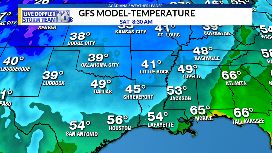
By Saturday morning, temperatures will bottom out in the low-mid 50s. Even under full sunshine, temperatures only rebound into the lower 70s Saturday afternoon! Sunday will be comfortable as well, but a warming trend will begin. The warming trend continues through early next week with a wet pattern beginning for the early parts of next week.