
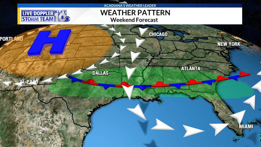
We saw scattered storms out there this afternoon as the daytime heating destabilized the atmosphere. In the upper-levels of the atmosphere, a dome of high pressure has setup shop across the western U.S., while a dip in the jet stream is parked over the eastern 2/3 of the country. This is creating unsettled and cooler than normal weather in the central and eastern parts of the country, while parts of Texas and Oklahoma are baking underneath the ridge.
A weak, stationary, boundary is positioned across the area with north flow across inland areas and onshore flow across the coast. This will serve as a convergence zone for thunderstorm development through the weekend, aided by moderately-high moisture levels and a weakness aloft. Seabreeze really won’t be able to get going tomorrow, but the aforementioned factors should be enough to pop off a few thunderstorms tomorrow afternoon. Total storm coverage will be near 30% = 3 out of 10 people getting rainfall.
South flow intensifies Sunday and Monday, allowing the seabreeze to get going each afternoon. Meanwhile, a piece of energy, embedded in the northerly flow, will increase atmospheric instability over the area. This could lead to about 40-50% coverage Sunday, Monday, Tuesday.
Storm chances for the latter parts of next week will depend on the position of the ridge of high pressure, which could try to build eastward later in the week. This would mean hotter temperatures and possibly a reduction in storm coverage.


