The ridge of high pressure, giving us the hot and dry conditions, will be pushing westward into the desert southwest. Meanwhile, a piece of upper-level energy will get cut-off and drift southwestward into the Gulf of Mexico. This disturbance will get caught in the low-level flow and drift westward over the Gulf of Mexico. This will begin to move higher levels of moisture into our area, leading to an increase in rain chances Thursday, Friday, and through the weekend. With the eastern nose of the ridge nearby, however, temperatures will remain hot, with highs in the middle 90s through the end of next week.
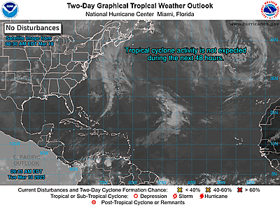
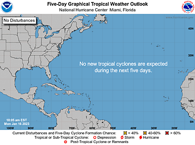
TROPICAL DEVELOPMENT…The National Hurricane Center has highlighted this disturbance as having a low chance for tropical development within the next five days. We always have to watch these disturbances this time of year on the tail-end of old frontal boundaries as they meander across the water waters of the Gulf. The expanding atmospheric column can lead to a lowering of heights in the lower-levels of the atmosphere, causing the low pressure to work its way down to the surface. The process takes time, but it does indeed happen from time to time. Models at this time show, at the very least, a broad low pressure forming across the eastern Gulf by Thursday or Friday of next week. The upper-level pattern looks favorable for some sort of tropical development as the area will be between an upper-level low over south Texas and a trough of low pressure over the Caribbean, providing low wind shear across the area. If the system does somehow acquire tropical characteristics and becomes a tropical system, its named would be Barry.
This is still 5-7 days out, so it’s way too early to know if any development will occur or know for certain where anything tropical would track. As of now, it appears a passing trough may be just strong enough to tug anything that develops northward into Alabama or the Florida panhandle by next weekend. This would lead to a continuation of hot and dry conditions for Acadiana. It’s very difficult to be confident in that scenario this early on, however, as nothing as yet formed and the upper-level pattern configuration could change in the models through the next 5-7 days. This shouldn’t be anything of too much concern, but I’ll continue to monitor this through the week ahead.


